Bladerikwr (talk | contribs) m (Consistency) |
m (name replaced) |
||
| (15 intermediate revisions by 5 users not shown) | |||
| Line 1: | Line 1: | ||
| − | {{Maps_Infobox|image = |
+ | {{Maps_Infobox|image = Map Reaching Trail Hex.png}} |
| − | {{Quote|A few miles north of [[ |
+ | {{Quote|A few miles north of [[The Moors]] lies The Reaching Trail, a rural village that built up around a mountainous path between Callum's Cape and the Reaching River. Colonial Paratroopers cut off Warden soldiers fleeing to the north and set up camp, establishing their own northern base of operations.|In-game description}} |
| − | The [[Reaching Trail]] |
+ | The [[Reaching Trail]] was a [[Skirmish]] map, described as a tightly paced map with a mix of varied elevations and tactical opportunities inside a small mountain pass. It is highlighted that making use of these different natural obstacles will be vital as you work to cut off supply lines and prepare for coordinated assaults. |
| − | == |
+ | == Update History == |
| + | The map was released [[Update 0.11]], and expanded in [[Update 0.14]].<br/> |
||
| − | Towns: |
||
| + | In [[Update 0.20]], the new structure [[Safehouse]]s have been implemented to this map.<br/> |
||
| − | *Camp Eos - [[Colonials]] Base, has very tight placement of buildings, which leads to [[Truck]]s frequently blocking narrow roads to each other. |
||
| + | As of [[Update 0.26]], this map has been updated to its hexagonal design and is implemented as part of the [[World Conquest]]. |
||
| − | *Brodytown - [[Wardens]] Base |
||
| + | |||
| + | {{clear}} |
||
| + | |||
| ⚫ | |||
| ⚫ | |||
| + | |||
| + | == Named Locations in Reaching Trail<ref> The Known World (cdn.discordapp.com [https://cdn.discordapp.com/attachments/203512636556574720/587012982215540810/FullMap.png link]). "The Lore of Foxhole," by Africandave™, 10 July 2019, https://steamcommunity.com/sharedfiles/filedetails/?id=1100198378 . Accessed 5 Oct. 2019. </ref> == |
||
| + | <!-- List ordered alphabetically, excluding "The" --> |
||
| + | {{div col|colwidth=15em}} |
||
| + | *-ndy Way (Missing first letters) |
||
| + | *The Ark |
||
| + | *The Bait |
||
| + | *Brodytown |
||
| + | *The Cairns |
||
| + | *Camp Eos |
||
| + | *Caragtais |
||
| ⚫ | |||
| + | *The Deckard |
||
| ⚫ | |||
| + | *Dungan's Approach |
||
| ⚫ | |||
| + | *Dwyerstown |
||
*Elksford |
*Elksford |
||
| ⚫ | |||
| ⚫ | |||
| + | *Fisherman's Floe |
||
| − | *The Knot - middle town in-between two cliffs, with ability to get on higher ground from Caragtais (entrance at F5k6) and from Featherfield (entrance at G7k5) |
||
| + | *Harpy |
||
| − | Shirt factory locations: |
||
| + | *Hookhall |
||
| ⚫ | |||
| ⚫ | |||
| − | Trenches |
||
| − | *The Sear - map-wide trench with two bridges over it. Can be driven around through its west end. Has fuel depot at the north end of it west bridge |
||
| − | *Hookhall - smaller trench with a scrap yard north-east of its ⊥-junction |
||
| − | Other: |
||
*Humidus |
*Humidus |
||
| + | *Ice Ranch |
||
| + | *The Knot |
||
| + | *Limestone Holdfast |
||
| + | *Mac Conaill's Pass |
||
| + | *Mousetrap |
||
| ⚫ | |||
| + | *Pitfall |
||
*Puncta |
*Puncta |
||
| + | *The Reaching Heights |
||
| − | *Catwalk |
||
| + | *Reprieve |
||
| ⚫ | |||
| − | *Caragtais - cliff north of The Knot with entrance at its SW end. Height and angle of the cliff allows jumping down from it in multiples spots. |
||
*The Rousing Fields |
*The Rousing Fields |
||
| + | *The Scar |
||
| − | Remote locations: |
||
| + | *Scorpion |
||
| − | *Thylak |
||
| + | *Thýlak |
||
| − | *Nienevin Trail |
||
| + | {{div col end}} |
||
| ⚫ | |||
| − | |||
| ⚫ | |||
| − | <br /> |
||
| − | <!-- Adding "class=map-image" makes the image use the ".map-image" CSS class defined in [[MediaWiki:Hydradark.css]] --> |
||
| ⚫ | |||
| − | {{Maps}} |
+ | {{Maps Navbox}} |
[[Category:Maps]] |
[[Category:Maps]] |
||
Revision as of 12:50, 29 June 2020
| “ | A few miles north of The Moors lies The Reaching Trail, a rural village that built up around a mountainous path between Callum's Cape and the Reaching River. Colonial Paratroopers cut off Warden soldiers fleeing to the north and set up camp, establishing their own northern base of operations. | „ |
| — In-game description |
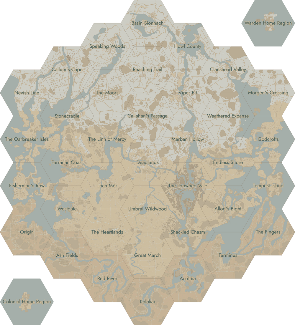
The Reaching Trail was a Skirmish map, described as a tightly paced map with a mix of varied elevations and tactical opportunities inside a small mountain pass. It is highlighted that making use of these different natural obstacles will be vital as you work to cut off supply lines and prepare for coordinated assaults.
Update History
The map was released Update 0.11, and expanded in Update 0.14.
In Update 0.20, the new structure Safehouses have been implemented to this map.
As of Update 0.26, this map has been updated to its hexagonal design and is implemented as part of the World Conquest.
Map
Named Locations in Reaching Trail[1]
- -ndy Way (Missing first letters)
- The Ark
- The Bait
- Brodytown
- The Cairns
- Camp Eos
- Caragtais
- The Chicken Coop
- The Deckard
- Duffy's Farm
- Dungan's Approach
- Dwyersfield
- Dwyerstown
- Elksford
- Featherfield
- Fisherman's Floe
- Harpy
- Hookhall
- Humidus
- Ice Ranch
- The Knot
- Limestone Holdfast
- Mac Conaill's Pass
- Mousetrap
- Nightchurch
- Pitfall
- Puncta
- The Reaching Heights
- Reprieve
- The Rousing Fields
- The Scar
- Scorpion
- Thýlak
| Click on a region to open the corresponding page. |
|---|
 |
- ↑ The Known World (cdn.discordapp.com link). "The Lore of Foxhole," by Africandave™, 10 July 2019, https://steamcommunity.com/sharedfiles/filedetails/?id=1100198378 . Accessed 5 Oct. 2019.